



Ski Antarctica
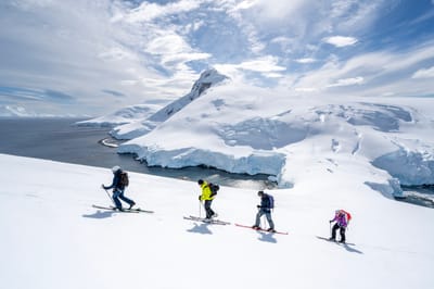
A company is offering a rare chance to go ski touring in Antarctica next month, you just need to have the funding and touring skills.

Salı 13 | Çarşamba 14 | Perşembe 15 | Cuma 16 | Cumartesi 17 | Pazar 18 | |||||||||||||
ÖÖ | ÖS | gece | ÖÖ | ÖS | gece | ÖÖ | ÖS | gece | ÖÖ | ÖS | gece | ÖÖ | ÖS | gece | ÖÖ | ÖS | gece | |
 |  |  |  |  |  | | |  | | | | | | | |  | | |
açık | bulutlu | hafif bulutlu | yağmur fırtınası | hafif yağmur | hafif yağmur | hafif yağmur | yağmur fırtınası | açık | açık | açık | açık | açık | açık | açık | açık | hafif bulutlu | hafif bulutlu | |
km/h | ||||||||||||||||||
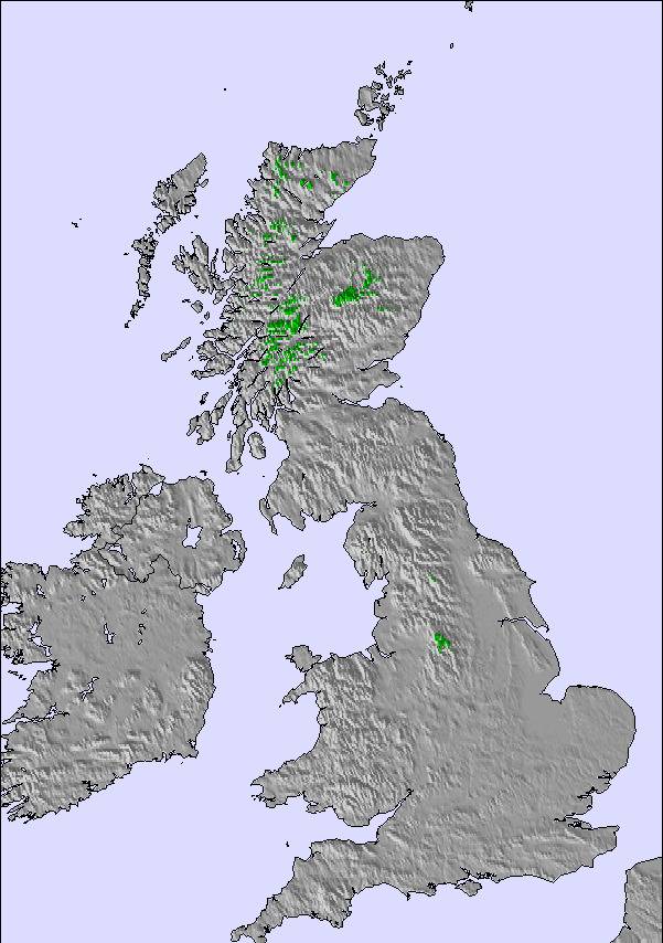
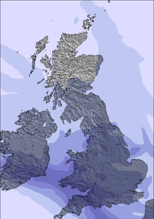
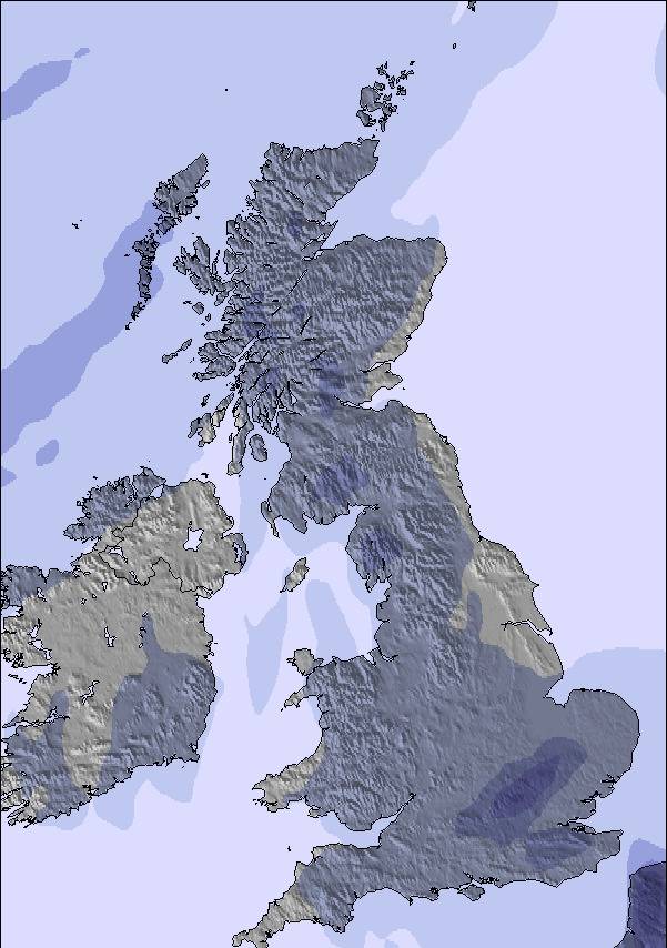
Kar haritası |  |  |  |  |  | 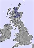 | ||||||||||||
 cm cm | — | — | — | — | — | — | — | — | — | — | — | — | — | — | — | — | — | — |
mm | — | — | — | 1 | 2 | 2 | 4 | 1 | — | — | — | — | — | — | — | — | — | — |
max °C | 13 | 13 | 11 | 14 | 14 | 14 | 14 | 10 | 7 | 10 | 11 | 6 | 10 | 11 | 6 | 10 | 11 | 8 |
min °C | 11 | 10 | 9 | 13 | 14 | 14 | 10 | 9 | 5 | 7 | 8 | 4 | 6 | 8 | 5 | 7 | 8 | 5 |
chill °C | 8 | 8 | 7 | 10 | 12 | 12 | 9 | 8 | 2 | 4 | 5 | 1 | 4 | 6 | 3 | 7 | 6 | 2 |
Nem % | 77 | 65 | 91 | 83 | 85 | 86 | 93 | 81 | 85 | 84 | 58 | 82 | 79 | 67 | 78 | 80 | 63 | 78 |
Donma seviyesi m | 2000 | 2100 | 3400 | 3750 | 3750 | 3800 | 2850 | 2700 | 1700 | 1450 | 1500 | 1850 | 2050 | 2900 | 3300 | 3450 | 3400 | 3350 |
 | 7:50 | — | — | 7:52 | — | — | 7:54 | — | — | 7:56 | — | — | 7:56 | — | — | 7:58 | — | — |
 | — | 6:40 | — | — | 6:38 | — | — | 6:37 | — | — | 6:35 | — | — | 6:31 | — | — | 6:30 | — |
Next 3 days weather summary:Orta dereceli yağmur (toplam 10.0mm), çok yoğun Per sabahı. Çok yumuşak (en fazla 14°C Çar sabahı, en az 5°C Per gecesi). azalan rüzgarlar (serin rüzgarlar GB'dan Çar akşamı, Hafif rüzgarlar KB'dan Per sabahı). | 4 ve 6 günler arası Coumfea West (Comeragh Mts) için Hava Tahmin ÖzetiÇoğunlukla kuru. Çok yumuşak (en fazla 11°C Cum akşamı, en az 4°C Cum gecesi). Rüzgar genelde hafif olacak. | |||||||||||||||||
 SnowPro
 Saatlik ve 16 günlük kar tahminleriGeçmiş hava durumunu görHızlı, reklamsız gezinmeHindcast’ler ve Kar Geçmişi
Son kar raporları yakın Coumfea West (Comeragh Mts):
| Üst kar kalınlığı: | — |
|---|---|
| Alt kar kalınlığı: | — |
| Taze kar yağışı kalınlığı: | — |
| Son kar yağışı: | 4 Apr 2026 |
0.0 | Bluebird Toz Kar günleri Taze kar, çoğunlukla güneşli, hafif rüzgâr. |
|---|---|
0.0 | Toz kar günleri Taze kar, sınırlı güneş, biraz rüzgâr. |
0.0 | Bluebird günleri Olağan kar, çoğunlukla güneşli, hafif rüzgâr. |
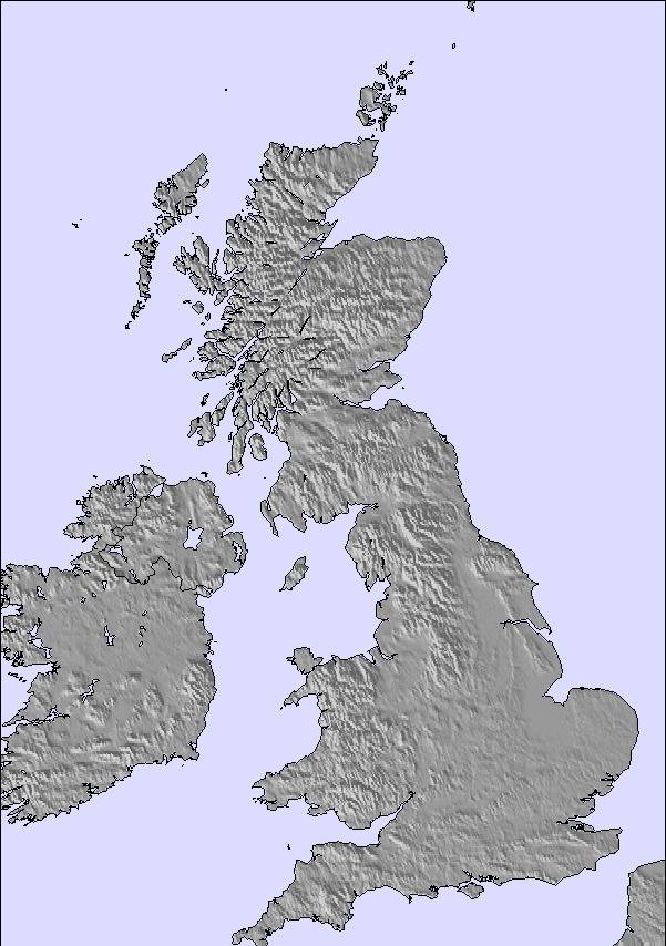
Yukarıdaki tablo Coumfea West (Comeragh Mts) merkezi 260 m yüksekliği için hava tahmini vermektedir. Gelişmiş hava modellerimiz sayesinde Coumfea West (Comeragh Mts) merkezin üst, orta ve alt kayak istasyonu için kar tahmini sağlamaktayız. Diğer yüksekliklerin hava tahminlerine erişmek için, tablonun üzerindeki sekme gezintisini kullanın. Hava durumunu tamamen görüntelemek için, Ireland ülkenin Hava Haritasına bakın.
Donma seviyeler hakkında ayrıca bilgi için ve sıcaklıkları nasıl tahmin ettiğimizi öğrenmek için buraya tıklayınız.
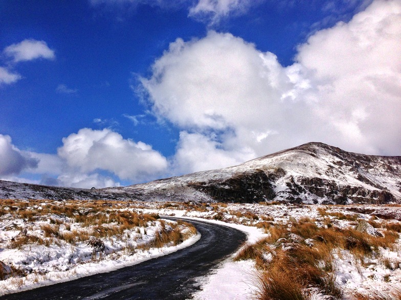
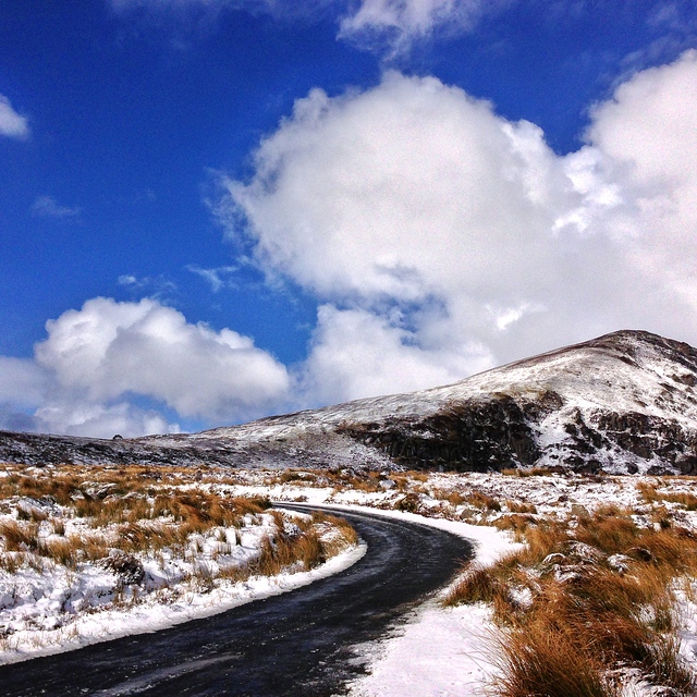
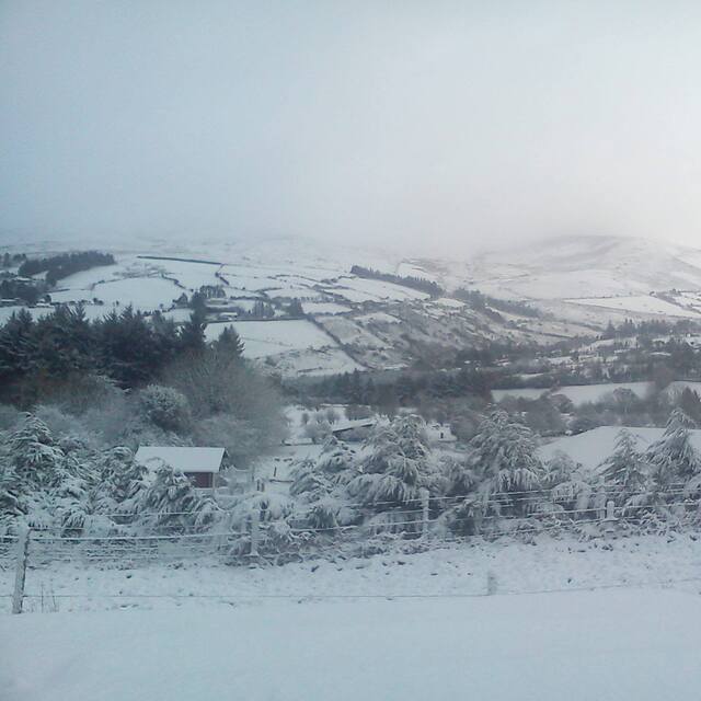
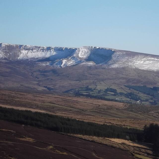
Comeragh mountains are an isolated massif surrounded by agricultural land in County Waterford, South East Ireland. The total area enclosed by the Comeraghs above 200 metres is approximately 195 kilometres. The range rises abruptly on the seaward side, reaching a height of 792 metres on the plateau. The slopes roll down much more gently to the lowlands on the western side of the range which, in turn, although a seldom occurance when conditions are favourable the western slopes, are the most suitable for skiing/boarding and sledding. Reference; A Guide to the Comeragh Mountains by Declan McGrath,Intacta Print Ltd.
Ireland 'den Brian Simpson yazıyor:
Comeragh mountains are an isolated massif surrounded by agricultural land in County Waterford, South East Ireland. The total area enclosed by the Comeraghs above 200 metres is approximately 195 kilometres. The range rises abruptly on the seaward side, reaching a height of 792 metres on the plateau. The slopes roll down much more gently to the lowlands on the western side of the range which, in turn, although a seldom occurance when conditions are favourable the western slopes, are the most suitable for skiing/boarding and sledding.
Reference; A Guide to the Comeragh Mountains by Declan McGrath,Intacta Print Ltd.
Coumfea West (Comeragh Mts) ile ilgili 1 yorum daha okuyun veya kendi yorumunuzu gönderin

 Erişim için kaydolun veya Giriş Yapın
 Yeni fotoğraf yükle
 Nearest