
Mont-aux-Sources ziyareti
%{resort_name} seyahatinizi planlamanıza yardımcı olacak faydalı tatil yeri bilgileri
- Sezon başlangıcı—
- Sezon sonu—
- Konaklama—
- Restoranlar | Barlar— | —
- En Yakın Havaalanı Durban
- En Yakın Tren İstasyonu —
- Turizm Ofisi Web Sitesi
- Turizm Ofisi Telefonu—
Mont-aux-Sources Özellikleri
Mont-aux-Sources arazisi şunlar içerir:
- Halfpipe—
- Kayak parkları—
- X-Ülke—
- Kayak Kiralama—
What's it like at Mont-aux-Sources?
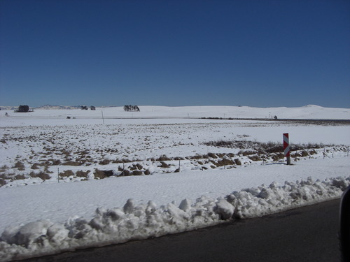
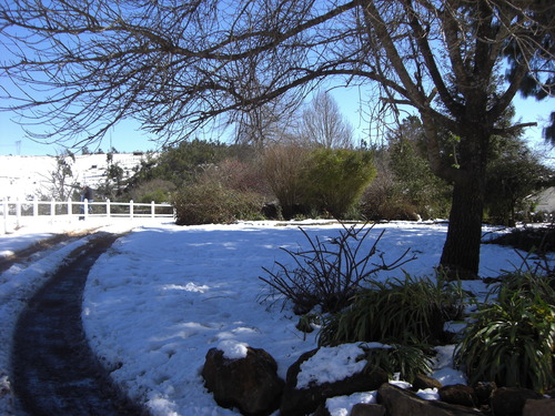
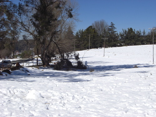
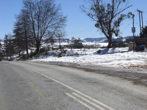
Mont-aux-Sources is a mountain block, forming one of the highest and most spectacular portions of the Drakensberg. It includes the Sentinel, a spectacular wall of 1,000 vertical feet. The high point of the massif is actually an inconspicuous protuberance, but it is important in that it forms the triangular corner where Lesotho meets the South African provinces of Natal and Orange Free State. The Mont-aux-Sources mountain is also the source for three major rivers (hence the name Mont-aux-Sources), which in places plunge spectacularly down the mountain wall. Tugela Falls, for example, is a series of five cascades which tumbles nearly 3000 feet over the east wall. The Mont-aux-Sources mountain is part of the Royal Natal National Park, which has a well developed system of marked trails, and includes many freestanding rocks in addition to the challenging walls.
Mont-aux-Sources Arnsberg Konum Haritasını İnceleyin
Etkileşimli Mont-aux-Sources parkur ve pist haritası. Bölge kırsalını dolaşmak için pist ve parkurların yanı sıra çevredeki arazi ve dağ yapısını görüntüleyin. Kayak merkezi işaretlerine tıklayarak yakındaki kayak merkezlerini bulun ve karşılaştırın.

Bir Mont-aux-Sources ziyareti için en karlı ay hangisidir?
Mont-aux-Sources 'da şu anda kar nasıl??
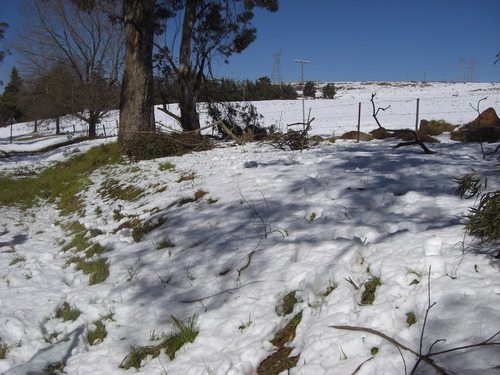
Mont-aux-Sources mevcut kar koşullarının bir özeti. Mont-aux-Sources hakkında daha fazla bilgi görüntüleyin ayrıntılı kar raporu sayfası.
- Pist Durumu—
- Pist Dışı Durum—

| Üst kar derinliği: | ||
|---|---|---|
| Alt kar derinliği: | ||
Mont-aux-Sources Ziyaretçi Yorumları
United States 'den Debbie Miller yazıyor:
I LOVED climbing this mountain. Of all my activities in 14 years of living in southern Africa as a child, this was my favorite .. the view, the process of the climb .. love the freedom & the challenge
Mont-aux-Sources hakkında kendi yorumunuzu yapmak için tıklayın
Mont-aux-Sources yakınındaki tatil yerleri
Mont-aux-Sources yakınındaki kayak merkezlerini keşfedin. Oradaki kayak merkezi rehberlerini görmek için aşağıya tıklayın.
 Afriski Mountain ResortSon kar: 4.0 cm Thu 02 Jul
 Teleferikler: 4
 Kayak Pistleri: 220 km uzakta
 TiffindellSon kar: 1.0 cm Thu 02 JulTeleferikler: 5Kayak Pistleri: 2237 km uzakta
- MatroosbergSon kar: 6.0 cm Sun 28 JunTeleferikler: 1Kayak Pistleri: —1019 km uzakta
 Mount HermonSon kar: 2.0 cm Mon 04 MayTeleferikler: 10Kayak Pistleri: —6937 km uzakta
 Zaarour ClubSon kar: 1.0 cm Tue 05 MayTeleferikler: 6Kayak Pistleri: —7004 km uzakta
 Nearest